U.S. News
Record-shattering cold and snow predicted across the U.S. arctic blast persists
By Jake Beardslee · January 15, 2024
In brief…
- Powerful and prolonged arctic blast bringing record-breaking cold, snow, wind, and ice across much of the U.S.
- Multiple states declare emergencies, dangerous travel conditions expected
- Up to 6 inches of snow predicted from Oklahoma to Virginia, tornado alley cities to see first measurable snow this winter
- Over 100 million under wind chill alerts as life-threatening cold sweeps South
- Storm to continue impacting South and potentially Mid-Atlantic/Northeast through midweek
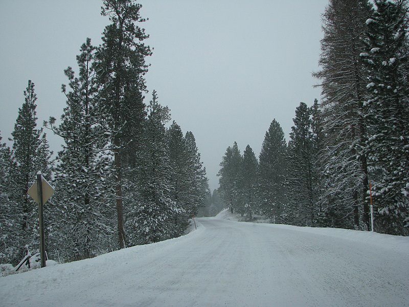
A powerful and long-lasting arctic blast bringing heavy snow, wind, and ice is sweeping across much of the United States, threatening record-breaking low temperatures and hazardous morning commutes. Another storm is also taking aim at the South.
Nearly 80% of the country will see below freezing temperatures, with over 140 daily cold records potentially broken in Oregon to Mississippi Monday and Tuesday, according to CNN. Temperatures in cities like Memphis, Dallas, and Nashville are forecast to stay below freezing for at least 72 straight hours. The coldest Iowa caucuses on record are expected Monday, with highs below zero and wind chills around -30°F.
Combined with the cold, slick wintry precipitation won’t melt on untreated roads for the Monday morning commute in places like Dallas and Shreveport, making travel more treacherous. Accumulating ice is predicted from Texas through the Lower Mississippi Valley into the Tennessee Valley and Southern Appalachians. “Have an emergency cold weather kit if traveling,” advised the National Weather Service.
About 100 million people are under wind chill alerts as sub-zero wind chills sweep across the U.S. and into the South. 10-25 mph winds could cause dangerous wind chills resulting in frostbite on exposed skin in as little as 30 minutes. In South Dakota, wind chills around -45°F can cause frostbite in just 5 minutes. Wind chills of -30°F are expected from the Northern Rockies to northern Kansas and Iowa.
Blinding snow squalls and lake-effect snow are possible across the Northeast. On Sunday, serious lake-effect snow continued in Buffalo as strong winds persisted, disrupting Midwest travel.
At least four states - Kentucky, Mississippi, Arkansas, and Louisiana - declared emergencies as the storm hit, threatening frigid cold.
Heavy snow was forecast over the Central Rockies Monday evening, while lake-effect snow will persist downwind from the Great Lakes through Tuesday.
Meanwhile, Oregon is still recovering after up to 0.75 inches of ice and damaging winds caused widespread power outages over the weekend. Over 111,000 homes and businesses had no power Sunday night. At least two weather-related deaths were reported in Portland.